
Circuit du 01/07/2024 22:52:37
- Mis à jour le 23/12/2024
- Identifiant 2687286
Sélectionner le fond de carte

PLAN IGN

PHOTOS AERIENNES

CARTES IGN MULTI-ECHELLES

TOP 25 IGN

CARTES DES PENTES

PARCELLES CADASTRALES

CARTES OACI

CARTES 1950 IGN

CARTE DE L’ETAT-MAJOR (1820-1866)

Open Street Map
Afficher les points d'intérêt à proximité
Hébergements
Informations
Lieux d'intérêts
Producteurs
Restauration
Services et Commerces
Autre
Echelle
|
durée / niveau
Rando pédestre
|
distance
0,0 km
type parcours
|
|||||||||
|
Lieu de départ
Albi
|
accessibilite
|
|||||||||
|
prestations payantes
Non
|
type(s) de sol
|
|||||||||
description
Visite d'Albi
Hébergements à proximité
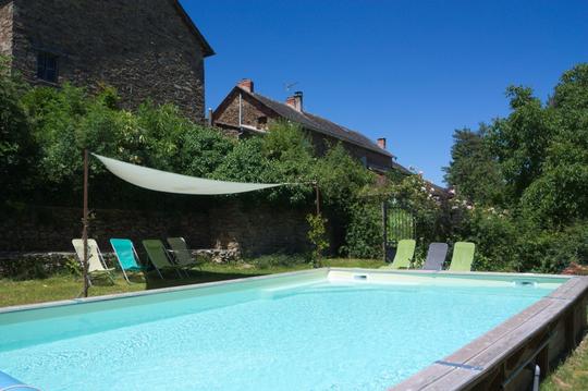
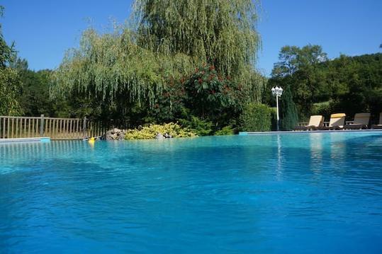
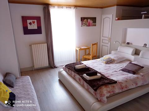
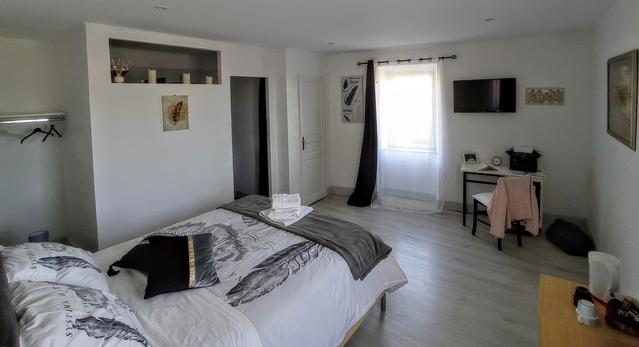

Albi
3ème journée du séjour à Najac
infos parcours (11)
1
Parking du Domaine de la Mouline
Informations complémentaires
kilomètre
0,00
latitude
43.9339
altitude
151
m
longitude
2.1572
2
Pont Neuf
Informations complémentaires
kilomètre
0,00
latitude
43.9312
altitude
163
m
longitude
2.14751
3
Pont Vieux
Informations complémentaires
kilomètre
0,00
latitude
43.9305
altitude
154
m
longitude
2.14496
4
Halle
Informations complémentaires
kilomètre
0,00
latitude
43.9294
altitude
171
m
longitude
2.14505
5
Arrière de la
Informations complémentaires
kilomètre
0,00
latitude
43.9283
altitude
170
m
longitude
2.14388
6
Entrée de la
Informations complémentaires
kilomètre
0,00
latitude
43.9282
altitude
171
m
longitude
2.14237
7
Promenade du
Informations complémentaires
kilomètre
0,00
latitude
43.9301
altitude
145
m
longitude
2.14377
8
Boulevard Général Sibille
Informations complémentaires
kilomètre
0,00
latitude
43.9282
altitude
171
m
longitude
2.14184
9
Place Lapérouse
Informations complémentaires
kilomètre
0,00
latitude
43.9249
altitude
170
m
longitude
2.14475
10
Rue Mariès, Maison Enjalabert
Informations complémentaires
kilomètre
0,00
latitude
43.9283
altitude
174
m
longitude
2.14629
11
Parking du Domaine de la Mouline
Informations complémentaires
kilomètre
0,00
latitude
43.9339
altitude
151
m
longitude
2.15721

