
Ploneis la source du Goyen
- Mis à jour le 24/01/2025
- Identifiant 2710663
Sélectionner le fond de carte

PLAN IGN

PHOTOS AERIENNES

CARTES IGN MULTI-ECHELLES

TOP 25 IGN

CARTES DES PENTES

PARCELLES CADASTRALES

CARTES OACI

CARTES 1950 IGN

CARTE DE L’ETAT-MAJOR (1820-1866)

Open Street Map
Afficher les points d'intérêt à proximité
Hébergements
Informations
Lieux d'intérêts
Producteurs
Restauration
Services et Commerces
Autre
Echelle
|
durée / niveau
Rando pédestre
|
distance
11,8 km
type parcours
|
|||||||||
|
Lieu de départ
11 Place du 19 Mars 1962
29710 Plonéis |
accessibilite
|
|||||||||
|
prestations payantes
Non
|
type(s) de sol
Bitume
Terre Herbe |
|||||||||
Photos & vidéos (4)

|
|
|
|
description
Difficulté de circulation sur les arbres au sol dans le bois. Sans difficultés particulières de relevé ailleurs
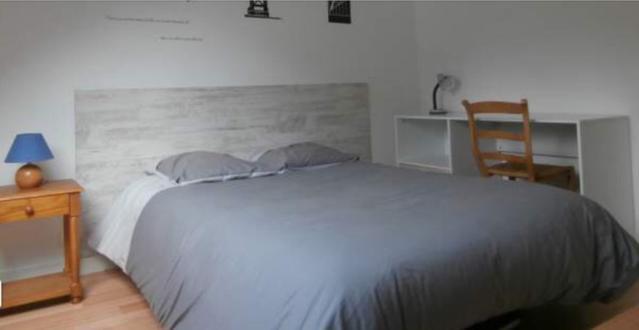
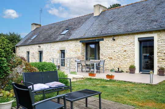
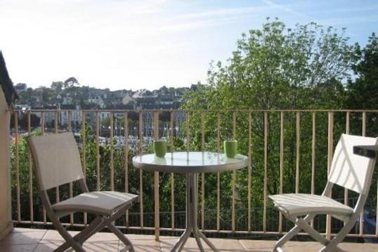
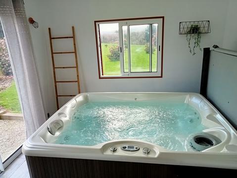
Hébergements à proximité

infos parcours (14)
1
Parking du cimetière
Informations complémentaires
kilomètre
0,00
latitude
48.0168
altitude
152
m
longitude
-4.21064
2
Entrée dans la bois
Informations complémentaires
kilomètre
1,90
latitude
48.0113
altitude
114
m
longitude
-4.21223
3
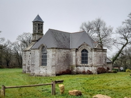
Château de Marc'hallac'h
Informations complémentaires
kilomètre
1,97
latitude
48.0094
altitude
126
m
longitude
-4.2139
4
Allée de hêtres
Informations complémentaires
kilomètre
2,48
latitude
48.0052
altitude
120
m
longitude
-4.21447
5
Bifurcation route
Informations complémentaires
kilomètre
2,96
latitude
48.001
altitude
150
m
longitude
-4.21181
6
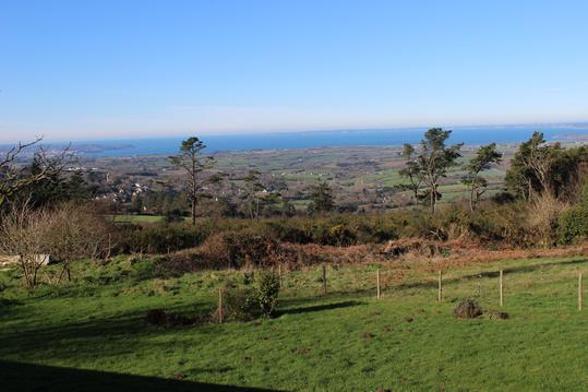
Belvédère
Informations complémentaires
kilomètre
3,47
latitude
47.9994
altitude
162
m
longitude
-4.21834
7
À droite vers Brézéhen
Informations complémentaires
kilomètre
4,22
latitude
48.0012
altitude
148
m
longitude
-4.224
8
Élevage de Brézéhen
Informations complémentaires
kilomètre
4,64
latitude
48.0049
altitude
136
m
longitude
-4.2259
9
Manoir de Kervern
Informations complémentaires
kilomètre
5,55
latitude
48.0087
altitude
114
m
longitude
-4.23515
10
Moulin de Kervern
Informations complémentaires
kilomètre
6,04
latitude
48.011
altitude
99
m
longitude
-4.23834
11
Ancien poteau-balise
Informations complémentaires
kilomètre
6,67
latitude
48.0142
altitude
124
m
longitude
-4.24281
12
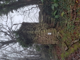
Fontaine
Informations complémentaires
kilomètre
7,39
latitude
48.015
altitude
86
m
longitude
-4.25045
13
À droite dans le lottissement
Informations complémentaires
kilomètre
10,48
latitude
48.0194
altitude
144
m
longitude
-4.21602
14
Parking du cimetière
Informations complémentaires
kilomètre
23,69
latitude
48.0168
altitude
152
m
longitude
-4.21066
AYM
Note moyenne
Cartes associées
