
CIRCUIT RANDO VTT N° 5 DE LA RIGOLE D'ALIMENTATION - RIAILLÉ
- Mis à jour le 28/01/2025
- Identifiant 2717276
Sélectionner le fond de carte

PLAN IGN

PHOTOS AERIENNES

CARTES IGN MULTI-ECHELLES

TOP 25 IGN

CARTES DES PENTES

PARCELLES CADASTRALES

CARTES OACI

CARTES 1950 IGN

CARTE DE L’ETAT-MAJOR (1820-1866)

Open Street Map
Afficher les points d'intérêt à proximité
Hébergements
Informations
Lieux d'intérêts
Producteurs
Restauration
Services et Commerces
Autre
Echelle
|
durée / niveau
VTT
|
distance
24,6 km
type parcours
|
|||||||||
|
Lieu de départ
44440 RIAILLE
|
accessibilite
|
|||||||||
|
prestations payantes
Non
|
type(s) de sol
|
|||||||||
description
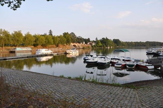
La rigole des Ajaux relie les plans d'eau de Riaillé (La Provostière et la Poitevinière) au grand Réservoir de Vioreau. L'eau ainsi acheminée permet l'alimentation du canal de Nantes à Brest.
A voir :
La Provostière, 81 ha. Un sentier en fait le tour.
La Poitevinière, renommée pour la pêche à la carpe de nuit.
A voir :
La Provostière, 81 ha. Un sentier en fait le tour.
La Poitevinière, renommée pour la pêche à la carpe de nuit.
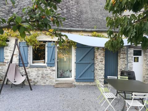
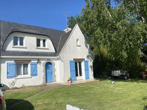
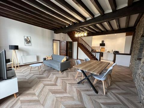
Hébergements à proximité

Contact
Site web : www.vioreaupleinenature.com
Téléphone : 02 49 10 91 00
Téléphone : 02 49 10 91 00
Producteur des informations sur l'itinéraire
VIOREAU PLEINE NATURE

Randonnée en Loire-Atlantique
Note moyenne
Cartes associées

Vous aimerez aussi
24.6 km
| par Randonnée en Loire-Atlantique |
24.6 km
| par Randonnée en Loire-Atlantique |