
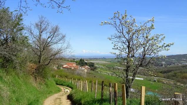
Autour du Lac de la Madone
- Mis à jour le 14/06/2025
- Identifiant 2745444
Sélectionner le fond de carte

PLAN IGN

PHOTOS AERIENNES

CARTES IGN MULTI-ECHELLES

TOP 25 IGN

CARTES DES PENTES

PARCELLES CADASTRALES

CARTES OACI

CARTES 1950 IGN

CARTE DE L’ETAT-MAJOR (1820-1866)

Open Street Map
Afficher les points d'intérêt à proximité
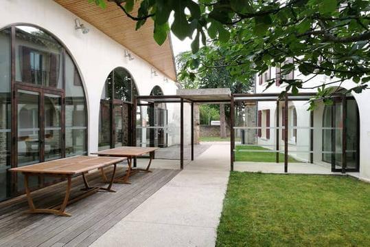
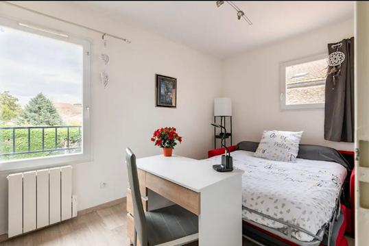
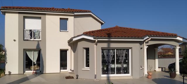
Hébergements
Informations
Lieux d'intérêts
Producteurs
Restauration
Services et Commerces
Autre
Echelle
|
durée / niveau
Rando pédestre
|
distance
9,3 km
type parcours
|
|||||||||
|
Lieu de départ
3 Rue de la Tannerie
69440 MORNANT |
accessibilite
|
|||||||||
|
prestations payantes
Non
|
type(s) de sol
|
|||||||||
description
Agréable randonnée proche de Mornant. Attention, par temps humide, la fin du circuit est parfois boueuse.
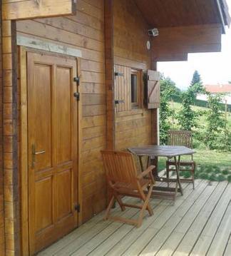
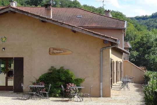
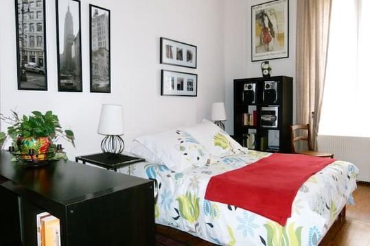
Hébergements à proximité


infos parcours (2)
1
La Fillonnière
Informations complémentaires
kilomètre
5,00
latitude
45.6039
altitude
506
m
longitude
4.62878
2
Fond Mathieu
Informations complémentaires
kilomètre
5,26
latitude
45.6006
altitude
442
m
longitude
4.63342
J-Claude
Note moyenne
Cartes associées
