
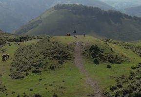
Manttale et la Redoute de la Baïonnette
- Thématique Montagne
- Mis à jour le 03/03/2025
- Identifiant 2765422


|
durée / niveau
Rando pédestre
|
distance
6,8 km
type parcours
Boucle
|
|||||||||
|
Lieu de départ
64122
|
accessibilite
|
|||||||||
|
prestations payantes
Non
|
type(s) de sol
Graviers
Terre Herbe |
|||||||||
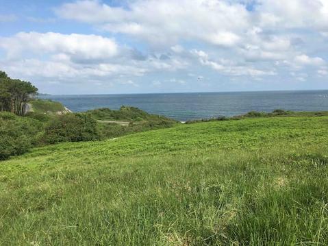
Photos & vidéos (1)
|
Hébergements à proximité
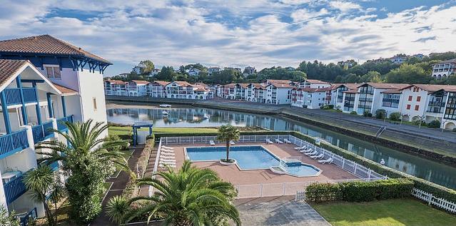
appart 6 pers dans un cadre verdoyant linge fourni
océan, montagne et campagne pour 4 personnes
T2 sur les hauteurs
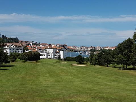
GREENS DE LA NIVELLE
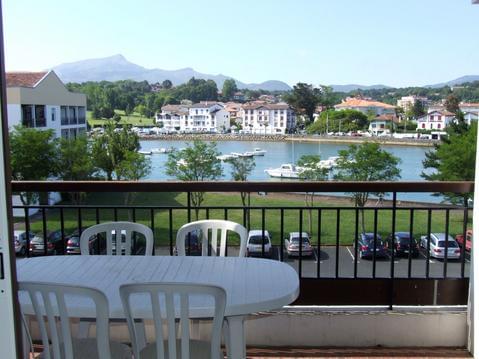
Superbe T2 proche Plage Socoa
PLAGE ET CENTRE VILLE A PIED
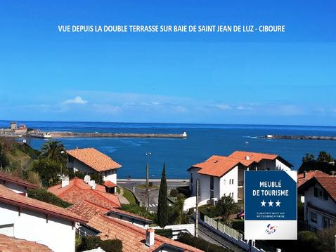
RARE et CALME. Villa de standing classée 3*** WIFI
Loue duplex de 80 m2 vue sur mer à Hendaye plage


