
Luc en Diois 1
- Mis à jour le 14/03/2025
- Identifiant 2783815
Sélectionner le fond de carte

PLAN IGN

PHOTOS AERIENNES

CARTES IGN MULTI-ECHELLES

TOP 25 IGN

CARTES DES PENTES

PARCELLES CADASTRALES

CARTES OACI

CARTES 1950 IGN

CARTE DE L’ETAT-MAJOR (1820-1866)

Open Street Map
Afficher les points d'intérêt à proximité
Hébergements
Informations
Lieux d'intérêts
Producteurs
Restauration
Services et Commerces
Autre
Echelle
|
durée / niveau
Rando pédestre
|
distance
18,6 km
type parcours
|
|||||||||
|
Lieu de départ
Luc-en-diois
|
accessibilite
|
|||||||||
|
prestations payantes
Non
|
type(s) de sol
|
|||||||||
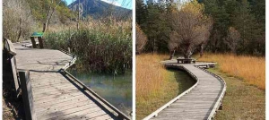
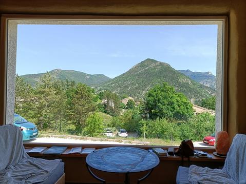
Photos & vidéos (1)
|
description
Alain DIGER
Hébergements à proximité

infos parcours (5)
1
Claps
Informations complémentaires
kilomètre
0,70
latitude
44.6014
altitude
619
m
longitude
5.46097
2
Point culminant
Informations complémentaires
kilomètre
5,75
latitude
44.579
altitude
1063
m
longitude
5.44456
3
Rochets dentelles
Informations complémentaires
kilomètre
11,13
latitude
44.5704
altitude
648
m
longitude
5.47739
4
Tours des Bouligons
Informations complémentaires
kilomètre
14,66
latitude
44.5688
altitude
685
m
longitude
5.50473
5
Pique nique
Informations complémentaires
kilomètre
30,55
latitude
44.5754
altitude
1058
m
longitude
5.4523
Regis
Note moyenne
Cartes associées
