Têtes du Lauzon et de Vallon Pierra par le vallon de Charnier
- Thématique Montagne
- Mis à jour le 16/03/2025
- Identifiant 2784880
Sélectionner le fond de carte

PLAN IGN

PHOTOS AERIENNES

CARTES IGN MULTI-ECHELLES

TOP 25 IGN

CARTES DES PENTES

PARCELLES CADASTRALES

CARTES OACI

CARTES 1950 IGN

CARTE DE L’ETAT-MAJOR (1820-1866)

Open Street Map
Afficher les points d'intérêt à proximité
Hébergements
Informations
Lieux d'intérêts
Producteurs
Restauration
Services et Commerces
Autre
Echelle
|
durée / niveau
Rando pédestre
|
distance
13,8 km
type parcours
Boucle
|
|||||||||
|
Lieu de départ
26620
|
accessibilite
|
|||||||||
|
prestations payantes
Non
|
type(s) de sol
Terre
Herbe Rochers |
|||||||||
|
Mots clés
marche, Rando
|
||||||||||
description
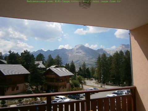
Parcours en Devoluy, pour une vue sur le Grand Ferrand
Hébergements à proximité
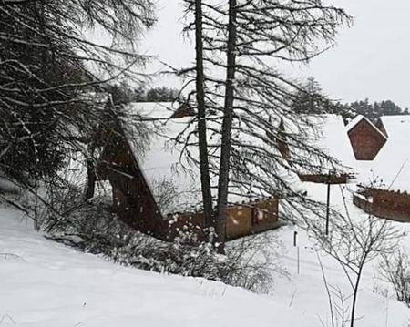
Parcours hivernal (mars 2025)
Montée jusqu'au col Charnier
infos parcours (12)
1
Parking cote IGN 1228m
Informations complémentaires
kilomètre
0,02
latitude
44.6915
altitude
1226
m
longitude
5.77896
2
Les Granges des Forêts (1210m)
Informations complémentaires
kilomètre
13,42
latitude
44.6906
altitude
1213
m
longitude
5.77521
3
Informations complémentaires
kilomètre
15,81
latitude
44.7007
altitude
1493
m
longitude
5.77909
4
Informations complémentaires
kilomètre
17,33
latitude
44.703
altitude
1751
m
longitude
5.79166
5
Informations complémentaires
kilomètre
20,93
latitude
44.7125
altitude
2507
m
longitude
5.81085
6
Informations complémentaires
kilomètre
22,29
latitude
44.7059
altitude
2252
m
longitude
5.80418
7
Informations complémentaires
kilomètre
23,25
latitude
44.7054
altitude
2101
m
longitude
5.81241
8
Intersection avec le GR93
Informations complémentaires
kilomètre
23,60
latitude
44.7038
altitude
1961
m
longitude
5.8089
9
Informations complémentaires
kilomètre
23,92
latitude
44.7015
altitude
1934
m
longitude
5.80837
10
Cabane du Fleyrard (1600m)
Informations complémentaires
kilomètre
24,67
latitude
44.697
altitude
1599
m
longitude
5.80563
11
Chemin carrossable, à gauche
Informations complémentaires
kilomètre
26,03
latitude
44.6955
altitude
1388
m
longitude
5.79415
12
Parking cote IGN 1228m
Informations complémentaires
kilomètre
27,55
latitude
44.6915
altitude
1225
m
longitude
5.77875


