
Saint-Andéol - Beauvallon
- Mis à jour le 23/12/2024
- Identifiant 2810031
Sélectionner le fond de carte

PLAN IGN

PHOTOS AERIENNES

CARTES IGN MULTI-ECHELLES

TOP 25 IGN

CARTES DES PENTES

PARCELLES CADASTRALES

CARTES OACI

CARTES 1950 IGN

CARTE DE L’ETAT-MAJOR (1820-1866)

Open Street Map
Afficher les points d'intérêt à proximité
Hébergements
Informations
Lieux d'intérêts
Producteurs
Restauration
Services et Commerces
Autre
Echelle
|
durée / niveau
Rando pédestre
|
distance
9,3 km
type parcours
|
|||||||||
|
Lieu de départ
220 Chemin du Plateau Sportif
69700 BEAUVALLON |
accessibilite
|
|||||||||
|
prestations payantes
Non
|
type(s) de sol
|
|||||||||
Photos & vidéos (1)
|
description
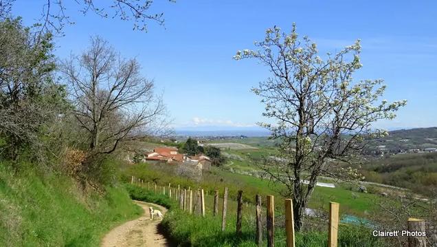
Paysage de prairies et de landes du plateau Mornantais. A partir du parking du gymnase La Croix des Pères, ce circuit avec peu de goudron est bien adapté à la marche nordique.
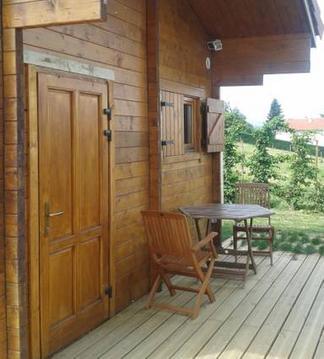
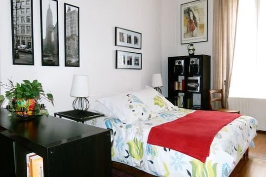
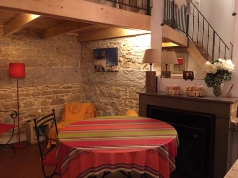
Hébergements à proximité


Balisage
jaune
infos parcours (10)
1
Parking du gymnase La Croix Des Pères
Sortir au bout du parking et continuer sur le chemin vers le nord.
Informations complémentaires
220 Chemin du Plateau Sportif
69700 BEAUVALLON
69700 BEAUVALLON
kilomètre
0,00
latitude
45.5925
altitude
340
m
longitude
4.69252
2
Chemin du Vernay
Tourner à droite.
Informations complémentaires
Chemin du Vernay
69700 BEAUVALLON
69700 BEAUVALLON
kilomètre
0,64
latitude
45.5971
altitude
333
m
longitude
4.68838
3
Les Echirayes
Tourner à droite
Informations complémentaires
763 Chemin de la Roche
69700 BEAUVALLON
69700 BEAUVALLON
kilomètre
2,09
latitude
45.5972
altitude
320
m
longitude
4.70625
4
Le Breuil
Tourner à droite.
Informations complémentaires
310 Rue du Breuil
69700 BEAUVALLON
69700 BEAUVALLON
kilomètre
3,12
latitude
45.5899
altitude
324
m
longitude
4.69826
5
La Chapelaine
Tourner à droite
Informations complémentaires
180 Rue de la Chapelaine
69700 BEAUVALLON
69700 BEAUVALLON
kilomètre
3,83
latitude
45.5872
altitude
328
m
longitude
4.69305
6
Cloyeux
Traverser la route
Informations complémentaires
Route de Cloyeux
69700 BEAUVALLON
69700 BEAUVALLON
kilomètre
5,27
latitude
45.5794
altitude
316
m
longitude
4.67964
7
69700 BEAUVALLON
La Planche
Tourner à droite
Informations complémentaires
69700 BEAUVALLON
kilomètre
5,38
latitude
45.5787
altitude
313
m
longitude
4.67865
8
La Mouchonnière
Informations complémentaires
294 La Mouchonnière
69700 BEAUVALLON
69700 BEAUVALLON
kilomètre
6,21
latitude
45.5843
altitude
341
m
longitude
4.67206
9
La Lèvretière
Informations complémentaires
2040-2224 Le Rat
69440 BEAUVALLON
69440 BEAUVALLON
kilomètre
6,87
latitude
45.5893
altitude
352
m
longitude
4.67168
10
69700 BEAUVALLON
Le Vernay
Tourner à droite pour rejoindre le parking.
Informations complémentaires
69700 BEAUVALLON
kilomètre
8,41
latitude
45.5978
altitude
329
m
longitude
4.68672

