
Pollionnay - De la Croix du Ban au Vieux Bourg de Sainte Consorce
- Mis à jour le 23/12/2024
- Identifiant 2811183
Sélectionner le fond de carte

PLAN IGN

PHOTOS AERIENNES

CARTES IGN MULTI-ECHELLES

TOP 25 IGN

CARTES DES PENTES

PARCELLES CADASTRALES

CARTES OACI

CARTES 1950 IGN

CARTE DE L’ETAT-MAJOR (1820-1866)

Open Street Map
Afficher les points d'intérêt à proximité
Hébergements
Informations
Lieux d'intérêts
Producteurs
Restauration
Services et Commerces
Autre
Echelle
|
durée / niveau
Rando pédestre
|
distance
11,9 km
type parcours
|
|||||||||
|
Lieu de départ
Route de la Croix du Ban
69290 POLLIONNAY |
accessibilite
|
|||||||||
|
prestations payantes
Non
|
type(s) de sol
|
|||||||||
Photos & vidéos (1)
|
description
Une promenade sportive dans la forêt et la campagne des Vallons du Lyonnais.
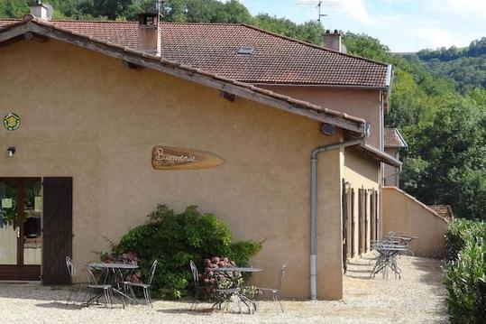
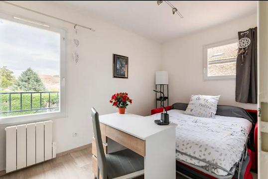
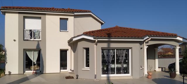
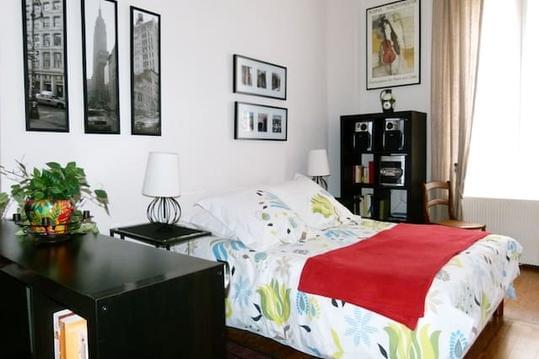
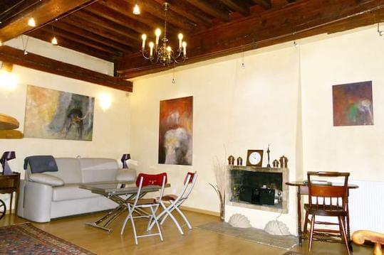
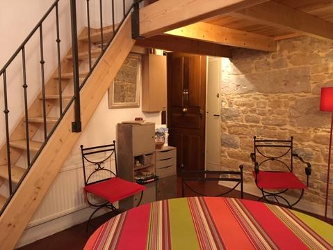
Hébergements à proximité

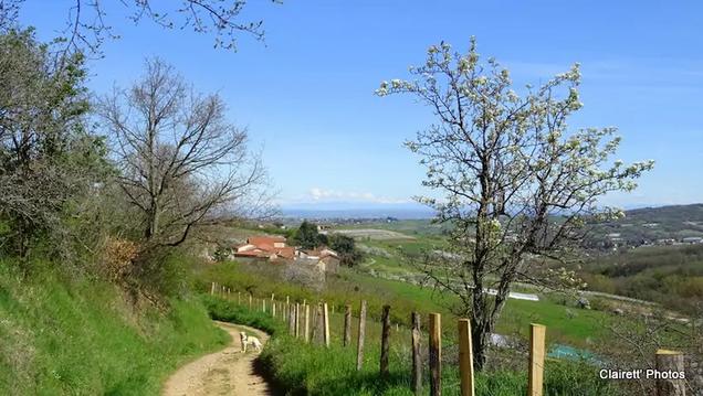

Balisage et nature du cheminement
Balisage jauneNature du cheminement : 26 % de petites routes goudronnées et 74 % de chemins non revêtus.
Accès possible par transport en commun
Les Cars du Rhône lignes EX et Ligne 147 (y compris samedi et dimanche)
infos parcours (14)
1
Lamure - Parking
Mur d'escalade Lionel Daudet
Informations complémentaires
1045 D610
69290 POLLIONNAY
69290 POLLIONNAY
kilomètre
11,84
latitude
45.7667
altitude
479
m
longitude
4.65159
2
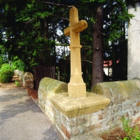
Croix du Ban
Informations complémentaires
Croix du Banc
69290 SAINT-PIERRE-LA-PALUD
69290 SAINT-PIERRE-LA-PALUD
kilomètre
1,79
latitude
45.7759
altitude
603
m
longitude
4.63854
3
Col de la Croix du Ban
Informations complémentaires
250 Route de la Croix du Ban
69290 SAINT-PIERRE-LA-PALUD
69290 SAINT-PIERRE-LA-PALUD
kilomètre
2,05
latitude
45.778
altitude
602
m
longitude
4.6399
4
Le Jeu de Quilles
Informations complémentaires
294 Chemin des Crêtes
69290 POLLIONNAY
69290 POLLIONNAY
kilomètre
3,08
latitude
45.7838
altitude
597
m
longitude
4.64947
5
69290 POLLIONNAY
La Plaine
Informations complémentaires
69290 POLLIONNAY
kilomètre
3,70
latitude
45.7812
altitude
540
m
longitude
4.65498
6
Larny
Informations complémentaires
15 Chemin de la Combe au But
69290 POLLIONNAY
69290 POLLIONNAY
kilomètre
4,67
latitude
45.783
altitude
410
m
longitude
4.66668
7
Le Grand Chemin
Informations complémentaires
Impasse des Biquettes
69290 POLLIONNAY
69290 POLLIONNAY
kilomètre
5,69
latitude
45.7865
altitude
339
m
longitude
4.67777
8
69280 SAINTE-CONSORCE
Côte Rivière
Informations complémentaires
69280 SAINTE-CONSORCE
kilomètre
6,04
latitude
45.7886
altitude
371
m
longitude
4.68099
9
Les Teyssonnières
Informations complémentaires
46 Chemin du Berthier
69280 SAINTE-CONSORCE
69280 SAINTE-CONSORCE
kilomètre
7,02
latitude
45.7854
altitude
342
m
longitude
4.6857
10
La Grande Borne
Informations complémentaires
54 Chemin de la Grande Borne
69280 SAINTE-CONSORCE
69280 SAINTE-CONSORCE
kilomètre
7,61
latitude
45.7802
altitude
408
m
longitude
4.6843
11
Le Vieux Bourg
Informations complémentaires
45 Route de Pollionnay
69280 SAINTE-CONSORCE
69280 SAINTE-CONSORCE
kilomètre
7,93
latitude
45.7776
altitude
409
m
longitude
4.68271
12
69290 POLLIONNAY
Le Vieux Bourg
Informations complémentaires
69290 POLLIONNAY
kilomètre
8,98
latitude
45.7716
altitude
374
m
longitude
4.6755
13
Le Verdy
Informations complémentaires
321 Chemin du Verdy
69290 POLLIONNAY
69290 POLLIONNAY
kilomètre
10,06
latitude
45.7739
altitude
416
m
longitude
4.6631
14
Les Mandrières
Informations complémentaires
273 Chemin de la Guillé
69290 POLLIONNAY
69290 POLLIONNAY
kilomètre
10,69
latitude
45.7685
altitude
426
m
longitude
4.6618

