
Tour du Biros
- Mis à jour le 01/04/2025
- Identifiant 2815340
Sélectionner le fond de carte

PLAN IGN

PHOTOS AERIENNES

CARTES IGN MULTI-ECHELLES

TOP 25 IGN

CARTES DES PENTES

PARCELLES CADASTRALES

CARTES OACI

CARTES 1950 IGN

CARTE DE L’ETAT-MAJOR (1820-1866)

Open Street Map
Afficher les points d'intérêt à proximité
Hébergements
Informations
Lieux d'intérêts
Producteurs
Restauration
Services et Commerces
Autre
Echelle
|
durée / niveau
Rando pédestre
|
distance
46,5 km
type parcours
|
|||||||||
|
Lieu de départ
09800
|
accessibilite
|
|||||||||
|
prestations payantes
Non
|
type(s) de sol
Herbe
Rochers |
|||||||||
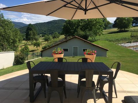
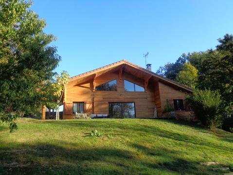
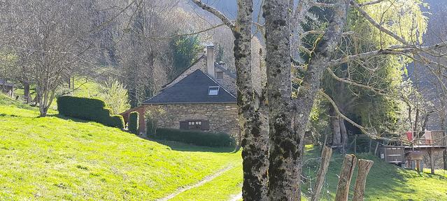
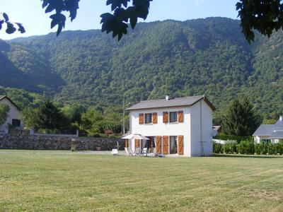
Hébergements à proximité

infos parcours (7)
1
Carrière de marbre
Informations complémentaires
kilomètre
33,38
latitude
42.8904
altitude
1205
m
longitude
0.992804
2
Chapelle de l'Isard
Informations complémentaires
kilomètre
5,32
latitude
42.8573
altitude
1327
m
longitude
0.888348
3
Crabère
Informations complémentaires
kilomètre
9,85
latitude
42.8254
altitude
2605
m
longitude
0.858307
4
Gîte d'Eylie
Informations complémentaires
kilomètre
15,36
latitude
42.8344
altitude
985
m
longitude
0.93461
5
Parking d'Anglade
Informations complémentaires
kilomètre
45,50
latitude
42.8674
altitude
814
m
longitude
0.939674
6
Refuge de l'Araing
Informations complémentaires
kilomètre
84,58
latitude
42.8347
altitude
1962
m
longitude
0.872555
7
Relais montagnard
Informations complémentaires
kilomètre
62,19
latitude
42.8772
altitude
714
m
longitude
0.97332
fabiola

Note moyenne
Cartes associées
