
2025-69435R-clan St Padre Pio - avec le monte cinto
- Thématique Montagne
- Mis à jour le 13/04/2025
- Identifiant 2834871
Sélectionner le fond de carte

PLAN IGN

PHOTOS AERIENNES

CARTES IGN MULTI-ECHELLES

TOP 25 IGN

CARTES DES PENTES

PARCELLES CADASTRALES

CARTES OACI

CARTES 1950 IGN

CARTE DE L’ETAT-MAJOR (1820-1866)

Open Street Map
Afficher les points d'intérêt à proximité
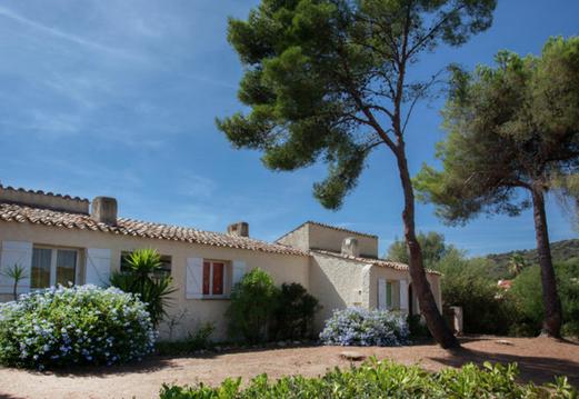
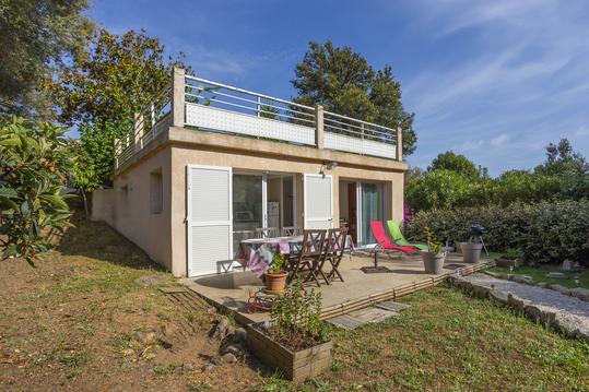
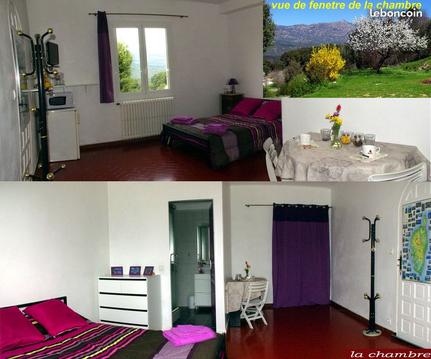
Hébergements
Informations
Lieux d'intérêts
Producteurs
Restauration
Services et Commerces
Autre
Echelle
|
durée / niveau
Running / course à pied
|
distance
88,7 km
type parcours
Aller Simple
|
|||||||||
|
Lieu de départ
20160 Vico
|
accessibilite
|
|||||||||
|
prestations payantes
Non
|
type(s) de sol
Bitume
Graviers Terre Herbe Rochers |
|||||||||
Hébergements à proximité

infos parcours (4)
1
bergerie de radule
nuit j1
Informations complémentaires
kilomètre
32,15
latitude
42.3037
altitude
1395
m
longitude
8.87519
2
refuge de tighiettu
nuit j2
Informations complémentaires
kilomètre
42,23
latitude
42.3623
altitude
1690
m
longitude
8.90896
3
village Lozzi
nuit j3
Informations complémentaires
kilomètre
55,85
latitude
42.349
altitude
1084
m
longitude
9.00824
4
village ponte catrila
nuit j4
Informations complémentaires
93 Chjassu u Mulinu
20236 Castirla
20236 Castirla
kilomètre
71,49
latitude
42.384
altitude
341
m
longitude
9.1395

