
TOUR DU LUBERON 5 JOURS
- Mis à jour le 19/04/2025
- Identifiant 2836851


|
durée / niveau
Rando pédestre
|
distance
111,1 km
type parcours
|
|||||||||
|
Lieu de départ
75 Chemin Rippert de Monclar
84490 Saint-Saturnin-lès-Apt |
accessibilite
|
|||||||||
|
prestations payantes
Non
|
type(s) de sol
|
|||||||||
description
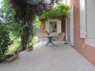
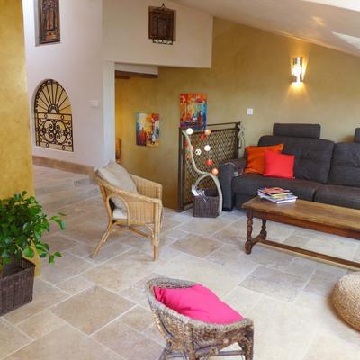
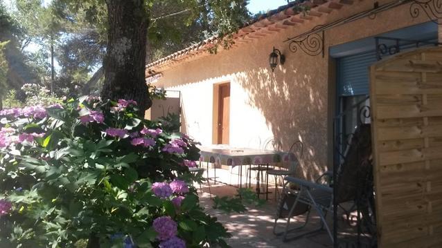
Hébergements à proximité
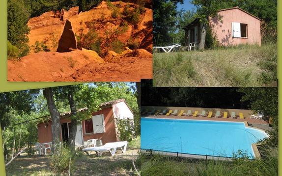
BIENVENUE. GITE des OCRES 4 pers Calme piscine WIF
Rez de jardin avec piscine classé 3*
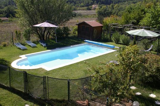
MAS DU GRAND SAINT JULIEN
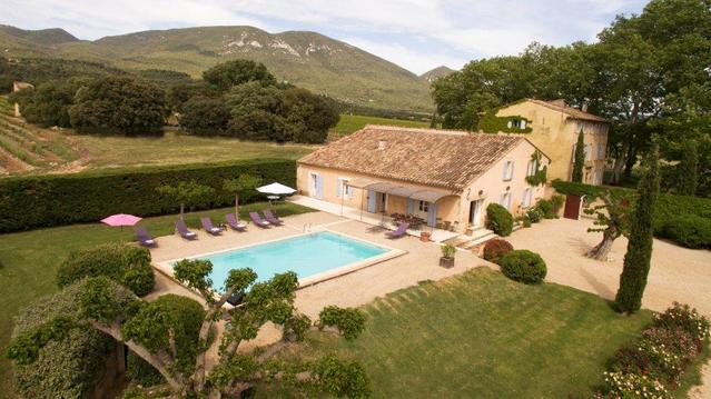
La Petite Maison - Charming house in hamlet
Ocres du Luberon
Maison de vacances à Roussillon en Provence
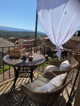
Un balcon sur les ocres
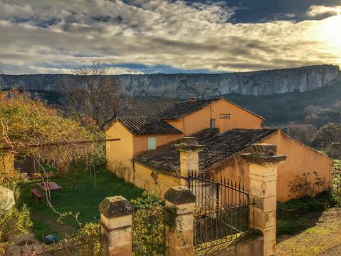
gîte à BONNIEUX au cœur du luberon en Provence

infos parcours (5)
JOUR 1 BIVOUAC
RAVITO (EAU et BOUFFE)
04280 Céreste-en-Luberon
JOUR 2 BIVOUAC
|
JOUR 3 BIVOUAC

|
JOUR 4 BIVOUAC

|
Baptiste
Cartes associées
