
Tour du Quercy
- Mis à jour le 20/04/2025
- Identifiant 2844001
Sélectionner le fond de carte

PLAN IGN

PHOTOS AERIENNES

CARTES IGN MULTI-ECHELLES

TOP 25 IGN

CARTES DES PENTES

PARCELLES CADASTRALES

CARTES OACI

CARTES 1950 IGN

CARTE DE L’ETAT-MAJOR (1820-1866)

Open Street Map
Afficher les points d'intérêt à proximité
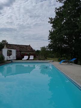
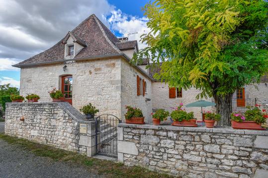
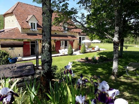
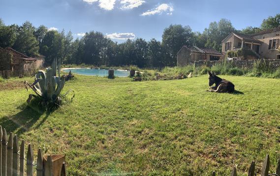
Hébergements
Informations
Lieux d'intérêts
Producteurs
Restauration
Services et Commerces
Autre
Echelle
|
durée / niveau
Rando pédestre
|
distance
82,8 km
type parcours
|
|||||||||
|
Lieu de départ
107 Quai Eugène Cavaignac
46000 Cahors |
accessibilite
|
|||||||||
|
prestations payantes
Non
|
type(s) de sol
|
|||||||||
description
Une belle boucle Cahors-Cahors en passant par la vallée du Lot
Hébergements à proximité

infos parcours (73)
1
3205 Route de Bach, Concots, 46260
Informations complémentaires
kilomètre
52,79
latitude
44.3743
altitude
279
m
longitude
1.6601
2
46230
Informations complémentaires
kilomètre
62,29
latitude
44.3481
altitude
274
m
longitude
1.60407
3
46230
Informations complémentaires
kilomètre
104,52
latitude
44.3471
altitude
276
m
longitude
1.61957
4
532 chemin de fon neuve, Vaylats, 46230
Informations complémentaires
kilomètre
105,70
latitude
44.3446
altitude
310
m
longitude
1.6337
5
46230
Informations complémentaires
kilomètre
107,05
latitude
44.3468
altitude
298
m
longitude
1.64975
6
46230
Informations complémentaires
kilomètre
108,20
latitude
44.3468
altitude
311
m
longitude
1.66325
7
121 Route de Concots, Bach, 46230
Informations complémentaires
kilomètre
109,24
latitude
44.352
altitude
314
m
longitude
1.67253
8
401 Chemin de Couanac, Bach, 46230
Informations complémentaires
kilomètre
109,86
latitude
44.3566
altitude
304
m
longitude
1.67645
9
46230
Informations complémentaires
kilomètre
110,73
latitude
44.3632
altitude
280
m
longitude
1.67411
10
46230
Informations complémentaires
kilomètre
111,81
latitude
44.3674
altitude
298
m
longitude
1.66572
11
46230
Informations complémentaires
kilomètre
102,42
latitude
44.3521
altitude
271
m
longitude
1.59546
12
46260
Informations complémentaires
kilomètre
114,61
latitude
44.3868
altitude
262
m
longitude
1.66371
13
46260
Informations complémentaires
kilomètre
115,96
latitude
44.3956
altitude
263
m
longitude
1.65281
14
Chemin de Janicou, Concots, 46260
Informations complémentaires
kilomètre
117,38
latitude
44.4046
altitude
272
m
longitude
1.64257
15
46260
Informations complémentaires
kilomètre
118,60
latitude
44.4143
altitude
289
m
longitude
1.64376
16
46330
Informations complémentaires
kilomètre
120,46
latitude
44.4289
altitude
360
m
longitude
1.64496
17
Chemin du Cloup Cau, Saint-Cirq-Lapopie, 46330
Informations complémentaires
kilomètre
121,71
latitude
44.4361
altitude
338
m
longitude
1.65199
18
46330
Informations complémentaires
kilomètre
122,94
latitude
44.4421
altitude
363
m
longitude
1.66221
19
Route de Pétrou, Saint-Cirq-Lapopie, 46330
Informations complémentaires
kilomètre
124,24
latitude
44.4523
altitude
339
m
longitude
1.66537
20
46090
Informations complémentaires
kilomètre
92,25
latitude
44.394
altitude
231
m
longitude
1.50442
21
36 Rue Saint Georges, Cahors, 46000
Informations complémentaires
kilomètre
165,42
latitude
44.4409
altitude
113
m
longitude
1.4427
22
41 Chemin de la Chartreuse, Cahors, 46000
Informations complémentaires
kilomètre
83,07
latitude
44.4406
altitude
115
m
longitude
1.44162
23
171 Chemin du Pech de Fourques, Cahors, 46000
Informations complémentaires
kilomètre
83,88
latitude
44.4366
altitude
200
m
longitude
1.44581
24
1086 Chemin du Pech de Fourques, Cahors, 46000
Informations complémentaires
kilomètre
84,78
latitude
44.4303
altitude
253
m
longitude
1.45271
25
46000
Informations complémentaires
kilomètre
85,89
latitude
44.4209
altitude
259
m
longitude
1.4547
26
Chemin de la Marchande, Cahors, 46000
Informations complémentaires
kilomètre
87,51
latitude
44.4115
altitude
283
m
longitude
1.46839
27
46090
Informations complémentaires
kilomètre
88,69
latitude
44.4061
altitude
218
m
longitude
1.47661
28
Chemin de Saint Jacques, Flaujac-Poujols, 46090
Informations complémentaires
kilomètre
90,85
latitude
44.4027
altitude
251
m
longitude
1.49266
29
46330
Informations complémentaires
kilomètre
125,72
latitude
44.4623
altitude
302
m
longitude
1.6732
30
46230
Informations complémentaires
kilomètre
93,60
latitude
44.3849
altitude
223
m
longitude
1.50769
31
46230
Informations complémentaires
kilomètre
95,06
latitude
44.383
altitude
189
m
longitude
1.52021
32
46230
Informations complémentaires
kilomètre
95,83
latitude
44.3777
altitude
197
m
longitude
1.52425
33
46230
Informations complémentaires
kilomètre
96,33
latitude
44.3749
altitude
214
m
longitude
1.52869
34
46230
Informations complémentaires
kilomètre
97,49
latitude
44.372
altitude
267
m
longitude
1.54164
35
46230
Informations complémentaires
kilomètre
98,74
latitude
44.3672
altitude
276
m
longitude
1.55558
36
220 Cami Ferrat, Cremps, 46230
Informations complémentaires
kilomètre
100,14
latitude
44.3605
altitude
261
m
longitude
1.57016
37
46230
Informations complémentaires
kilomètre
101,44
latitude
44.3562
altitude
279
m
longitude
1.5847
38
381 Rue des Roucailloux, Aujols, 46090
Informations complémentaires
kilomètre
153,29
latitude
44.4131
altitude
217
m
longitude
1.54764
39
46090
Informations complémentaires
kilomètre
143,75
latitude
44.463
altitude
292
m
longitude
1.56516
40
Cevenes de Béars, Arcambal, 46090
Informations complémentaires
kilomètre
145,13
latitude
44.4735
altitude
250
m
longitude
1.55759
41
46090
Informations complémentaires
kilomètre
145,82
latitude
44.4702
altitude
206
m
longitude
1.55436
42
46090
Informations complémentaires
kilomètre
146,76
latitude
44.4631
altitude
190
m
longitude
1.5514
43
46090
Informations complémentaires
kilomètre
147,79
latitude
44.4557
altitude
250
m
longitude
1.5542
44
46090
Informations complémentaires
kilomètre
148,81
latitude
44.4479
altitude
266
m
longitude
1.55522
45
46090
Informations complémentaires
kilomètre
150,24
latitude
44.4385
altitude
147
m
longitude
1.54924
46
46090
Informations complémentaires
kilomètre
151,45
latitude
44.4285
altitude
208
m
longitude
1.55006
47
46090
Informations complémentaires
kilomètre
142,39
latitude
44.4668
altitude
282
m
longitude
1.57674
48
11 Rue des Roucailloux, Aujols, 46090
Informations complémentaires
kilomètre
153,75
latitude
44.4092
altitude
229
m
longitude
1.54825
49
641 Route du Poux Névé, Aujols, 46090
Informations complémentaires
kilomètre
154,55
latitude
44.4128
altitude
248
m
longitude
1.54063
50
46090
Informations complémentaires
kilomètre
156,51
latitude
44.416
altitude
226
m
longitude
1.51908
51
46090
Informations complémentaires
kilomètre
159,74
latitude
44.4265
altitude
197
m
longitude
1.49343
52
645 Route de Saint Cirice, Cahors, 46000
Informations complémentaires
kilomètre
160,93
latitude
44.4255
altitude
280
m
longitude
1.47906
53
46000
Informations complémentaires
kilomètre
163,04
latitude
44.4408
altitude
275
m
longitude
1.46762
54
46000
Informations complémentaires
kilomètre
163,74
latitude
44.4423
altitude
259
m
longitude
1.4602
55
46000
Informations complémentaires
kilomètre
164,74
latitude
44.4423
altitude
248
m
longitude
1.4483
56
855 boucle de guillamot, Bouziès, 46330
Informations complémentaires
kilomètre
132,99
latitude
44.4811
altitude
135
m
longitude
1.61169
57
39 Place des Oules, Saint-Cirq-Lapopie, 46330
Informations complémentaires
kilomètre
126,41
latitude
44.4653
altitude
188
m
longitude
1.66772
58
46330
Informations complémentaires
kilomètre
127,02
latitude
44.4696
altitude
133
m
longitude
1.6635
59
46330
Informations complémentaires
kilomètre
128,16
latitude
44.4728
altitude
129
m
longitude
1.65174
60
46330
Informations complémentaires
kilomètre
129,23
latitude
44.4797
altitude
129
m
longitude
1.64587
61
250 route de l'angle, Bouziès, 46330
Informations complémentaires
kilomètre
130,24
latitude
44.485
altitude
144
m
longitude
1.63933
62
914 route de l'angle, Bouziès, 46330
Informations complémentaires
kilomètre
130,91
latitude
44.485
altitude
152
m
longitude
1.63126
63
46330
Informations complémentaires
kilomètre
131,86
latitude
44.485
altitude
157
m
longitude
1.62039
64
46330
Informations complémentaires
kilomètre
132,42
latitude
44.4854
altitude
133
m
longitude
1.6143
65
46000
Informations complémentaires
kilomètre
165,53
latitude
44.4418
altitude
112
m
longitude
1.44261
66
46330
Informations complémentaires
kilomètre
133,66
latitude
44.4754
altitude
129
m
longitude
1.60987
67
46330
Informations complémentaires
kilomètre
134,78
latitude
44.4686
altitude
280
m
longitude
1.61412
68
46330
Informations complémentaires
kilomètre
135,97
latitude
44.4596
altitude
320
m
longitude
1.61617
69
46090
Informations complémentaires
kilomètre
136,75
latitude
44.455
altitude
345
m
longitude
1.61775
70
46090
Informations complémentaires
kilomètre
137,75
latitude
44.4516
altitude
324
m
longitude
1.60854
71
46090
Informations complémentaires
kilomètre
138,79
latitude
44.4554
altitude
283
m
longitude
1.59758
72
46330
Informations complémentaires
kilomètre
140,59
latitude
44.4669
altitude
127
m
longitude
1.58636
73
Rue de Saint Géry, Arcambal, 46090
Informations complémentaires
kilomètre
141,55
latitude
44.4727
altitude
160
m
longitude
1.57845
Benoit
Note moyenne
Cartes associées

Vous aimerez aussi
Bach-Cahors : étape sur la voie du Puy vers Compostelle, inscrite sur la Liste du patrimoine mondial
Historique, patrimoine
27.0 km
| par CHEMINS VERS COMPOSTELLE |
