
Circuit du 06/05/2025 15:09:45
- Mis à jour le 06/05/2025
- Identifiant 2870193


|
durée / niveau
Rando pédestre
|
distance
0,4 km
type parcours
|
|||||||||
|
Lieu de départ
Paris-12e-arrondissement
|
accessibilite
|
|||||||||
|
prestations payantes
Non
|
type(s) de sol
|
|||||||||
Hébergements à proximité
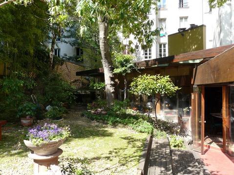
Bed & Bamboo Chambre d'hôtes
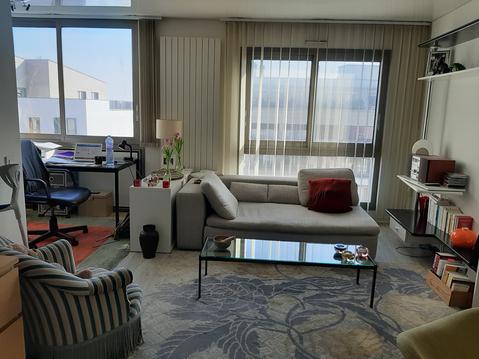
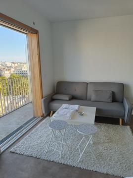
Superbe appartement proche de Paris et nature
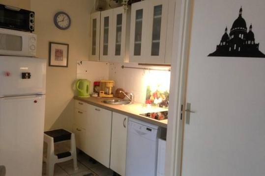
Halle de laVillette/Zenith/Philharm
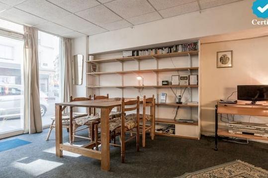
Nice Budget-Studio-Apartment 35m2 - Trendy Area
Beautiful Paris

deux pieces commerce

Studio calme plein Paris.Vue dégagée Tour Eiffel.
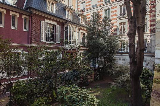
hotel particulier a 2 pas du bois de boulogne


