
Abbaye de Boscodon et hameau St Jean
- Mis à jour le 26/05/2025
- Identifiant 2888416


|
durée / niveau
Rando pédestre
|
distance
8,0 km
type parcours
Boucle
|
|||||||||
|
Lieu de départ
3869 Route de Boscodon
05200 Crots |
accessibilite
|
|||||||||
|
prestations payantes
Non
|
type(s) de sol
Bitume
Graviers Terre |
|||||||||
description
Hébergements à proximité
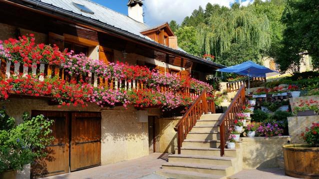
T3 70m2 avec jardin et terrasse
Les Marmottes
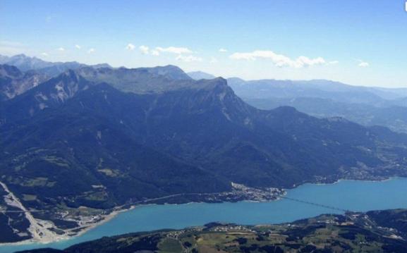
Vue sur Embrun,lac de Serre-Ponçon, Les Orres

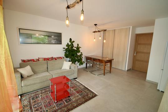
EMBRUN Appt T2 : tout équipé avec magnifique vue
Gîte au Puy Sanières
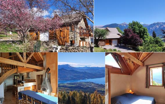
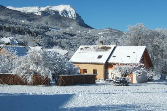
Grand chalet près d'Embrun, Lac de Serre-Ponçon,
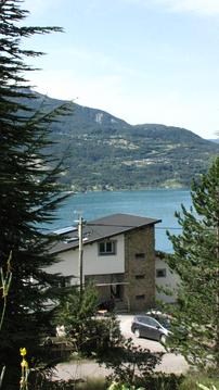
Appartement entre lac et montagnes
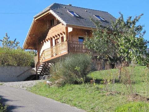
Chalet de montagne face au parc des Ecrins

infos parcours (6)
Point de passage 1
Marlès, fin du balisage GRP
Près de l'abri des corbillards
Vers Boscodon
Quittez la route à droite
Point de passage 6
Christian
Cartes associées
