
Clan St Maurice Annecy_Jour 3 _ Le Gibertès jusqu_à la cascade du déroc
- Thématique Montagne
- Mis à jour le 30/05/2025
- Identifiant 2907816


|
durée / niveau
Rando pédestre
|
distance
24,6 km
type parcours
Aller Simple
|
|||||||||
|
Lieu de départ
6 Rue des Gardes
48100 Le Buisson |
accessibilite
|
|||||||||
|
prestations payantes
Non
|
type(s) de sol
Bitume
Graviers Terre Herbe Rochers |
|||||||||
Hébergements à proximité
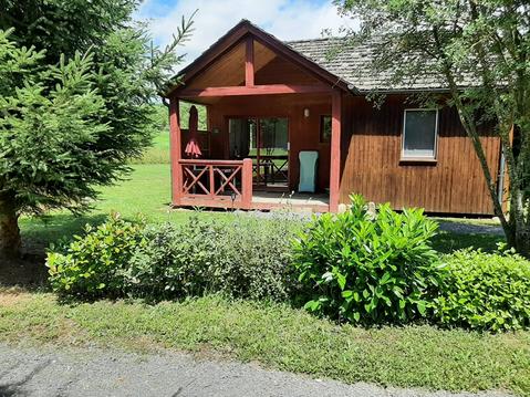
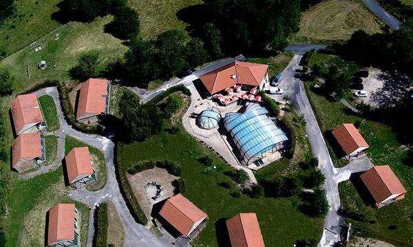
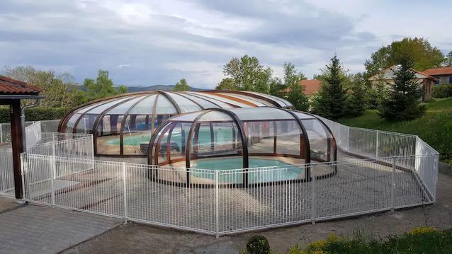
CHALET NATURE EN GEVAUDAN LOZERE AVEC PISCINE
Fraîcheur en Aubrac, beauté des paysages
Chalet, vue panorama, entièrement équipé, terrasse

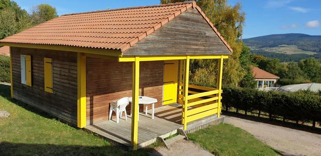
Chalet 4 à 12 personnes
B) Chalet 4 à 12 personnes
Chalet au calme
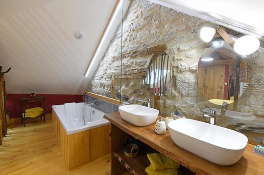
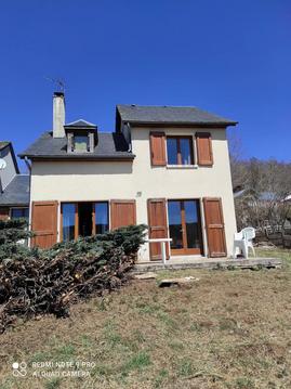
Le Pré de l'Hiver avec sa chambre Faune et Flore
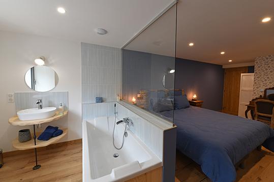
Le Pré de l'Hiver chambre Romantique

infos parcours (18)
48270
48260
48260
4 Rue des Ferradous, Nasbinals, 48260
23 Rue des Ferradous, Nasbinals, 48260
48260
57 Place du Ferradou, Marchastel, 48260
23 Rue de la Placette, Marchastel, 48260
48260
2200 Route du Gibertès, Le Buisson, 48100
48270
48270
48270
48270
48270
48270
48100
48100
Benoît

Cartes associées

Vous aimerez aussi
Le Chemin de Saint-Guilhem par le GR®60 (d'Aumont Aubrac à Sainte-Enimie)
Historique, patrimoine| par Parc Naturel Régional de l'Aubrac |