
Clan St Maurice Annecy_Jour 4 _ Cascade du Déroc à Belvezet
- Thématique Montagne
- Mis à jour le 30/05/2025
- Identifiant 2907842
Sélectionner le fond de carte

PLAN IGN

PHOTOS AERIENNES

CARTES IGN MULTI-ECHELLES

TOP 25 IGN

CARTES DES PENTES

PARCELLES CADASTRALES

CARTES OACI

CARTES 1950 IGN

CARTE DE L’ETAT-MAJOR (1820-1866)

Open Street Map
Afficher les points d'intérêt à proximité
Hébergements
Informations
Lieux d'intérêts
Producteurs
Restauration
Services et Commerces
Autre
Echelle
|
durée / niveau
Rando pédestre
|
distance
25,4 km
type parcours
|
|||||||||
|
Lieu de départ
2 Chemin du Déroc
48260 Nasbinals |
accessibilite
|
|||||||||
|
prestations payantes
Non
|
type(s) de sol
Bitume
Graviers Terre Herbe Rochers |
|||||||||
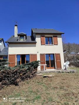
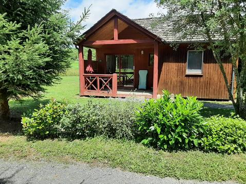
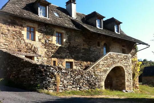
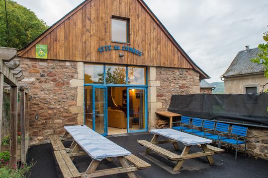
Hébergements à proximité

infos parcours (8)
1
2 Chemin du Déroc, Nasbinals, 48260
Informations complémentaires
kilomètre
0,00
latitude
44.6478
altitude
1220
m
longitude
3.06551
2
1 Rue du 19 Mars 1962, Nasbinals, 48260
Informations complémentaires
kilomètre
2,51
latitude
44.662
altitude
1170
m
longitude
3.04688
3
12 Place de la Mairie, Recoules-d'Aubrac, 48260
Informations complémentaires
kilomètre
7,19
latitude
44.6922
altitude
1111
m
longitude
3.02374
4
11 rue du Carrierou, Saint-Urcize, 15110
Informations complémentaires
kilomètre
8,84
latitude
44.6965
altitude
1076
m
longitude
3.00644
5
15110
Informations complémentaires
kilomètre
16,13
latitude
44.6523
altitude
1365
m
longitude
2.96606
6
48260
Informations complémentaires
kilomètre
18,45
latitude
44.6435
altitude
1314
m
longitude
2.98657
7
139 Chemin du Presbytere, Saint-Chély-d'Aubrac, 12470
Informations complémentaires
kilomètre
21,21
latitude
44.6223
altitude
1294
m
longitude
2.98809
8
86 Impasse de la Tour de Guet, Saint-Chély-d'Aubrac, 12470
Informations complémentaires
kilomètre
25,42
latitude
44.6023
altitude
1117
m
longitude
2.95382
Benoît

Note moyenne
Cartes associées

Vous aimerez aussi
12.7 km
| par Parc Naturel Régional de l'Aubrac |