
Le Jara depuis Saint-Martin-d'Arrossa
- Mis à jour le 02/06/2025
- Identifiant 2911911
Sélectionner le fond de carte

PLAN IGN

PHOTOS AERIENNES

CARTES IGN MULTI-ECHELLES

TOP 25 IGN

CARTES DES PENTES

PARCELLES CADASTRALES

CARTES OACI

CARTES 1950 IGN

CARTE DE L’ETAT-MAJOR (1820-1866)

Open Street Map
Afficher les points d'intérêt à proximité
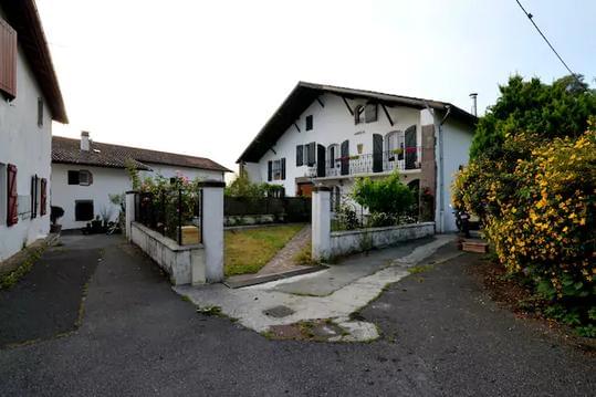
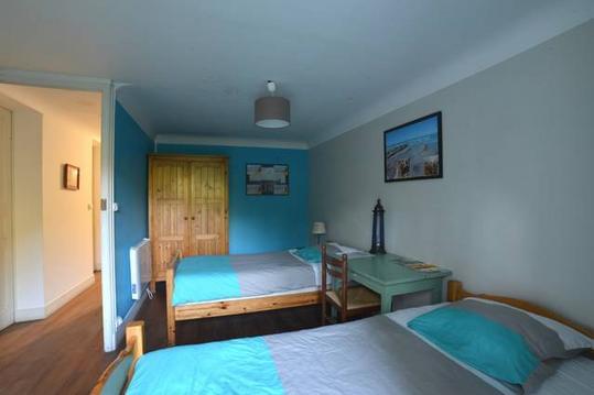
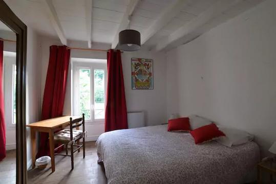
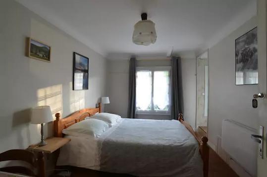
Hébergements
Informations
Lieux d'intérêts
Producteurs
Restauration
Services et Commerces
Autre
Echelle
|
durée / niveau
Rando pédestre
|
distance
12,4 km
type parcours
Aller/Retour
|
|||||||||
|
Lieu de départ
64780 Saint-Martin-d'Arrossa
|
accessibilite
|
|||||||||
|
prestations payantes
Non
|
type(s) de sol
Graviers
Terre Herbe Rochers |
|||||||||
Hébergements à proximité

infos parcours (11)
1
Parking herbeux. Proche de la
Informations complémentaires
kilomètre
0,00
latitude
43.2257
altitude
147
m
longitude
-1.30525
2
Portail
Informations complémentaires
kilomètre
0,38
latitude
43.2239
altitude
202
m
longitude
-1.30847
3
Panneau Jara
Informations complémentaires
kilomètre
0,79
latitude
43.2203
altitude
267
m
longitude
-1.30759
4
Croisement de chemins
Informations complémentaires
kilomètre
2,24
latitude
43.2088
altitude
461
m
longitude
-1.30906
5
Raccourci retour
Informations complémentaires
kilomètre
3,03
latitude
43.2037
altitude
511
m
longitude
-1.31348
6
Fourche - Chemin de Saint-Etienne-de-Baïgorry
Informations complémentaires
kilomètre
3,31
latitude
43.2016
altitude
518
m
longitude
-1.31491
7
Raccourci retour
Informations complémentaires
kilomètre
4,50
latitude
43.2018
altitude
604
m
longitude
-1.31194
8
Clôture
Informations complémentaires
kilomètre
5,78
latitude
43.2011
altitude
703
m
longitude
-1.30433
9
Col Irazelhaiko
Informations complémentaires
kilomètre
6,19
latitude
43.2004
altitude
720
m
longitude
-1.29965
10
Sommet du
Informations complémentaires
kilomètre
6,83
latitude
43.1998
altitude
810
m
longitude
-1.29208
11
Parking herbeux. Proche de la
Informations complémentaires
kilomètre
24,82
latitude
43.2257
altitude
148
m
longitude
-1.30538

