
Le saut du chien
- Mis à jour le 09/06/2025
- Identifiant 2923750
Sélectionner le fond de carte

PLAN IGN

PHOTOS AERIENNES

CARTES IGN MULTI-ECHELLES

TOP 25 IGN

CARTES DES PENTES

PARCELLES CADASTRALES

CARTES OACI

CARTES 1950 IGN

CARTE DE L’ETAT-MAJOR (1820-1866)

Open Street Map
Afficher les points d'intérêt à proximité
Hébergements
Informations
Lieux d'intérêts
Producteurs
Restauration
Services et Commerces
Autre
Echelle
|
durée / niveau
Rando pédestre
|
distance
0,0 km
type parcours
|
|||||||||
|
Lieu de départ
Saint-symphorien-de-thenieres
|
accessibilite
|
|||||||||
|
prestations payantes
Non
|
type(s) de sol
|
|||||||||
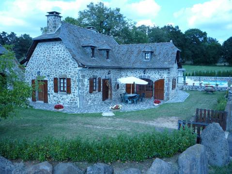
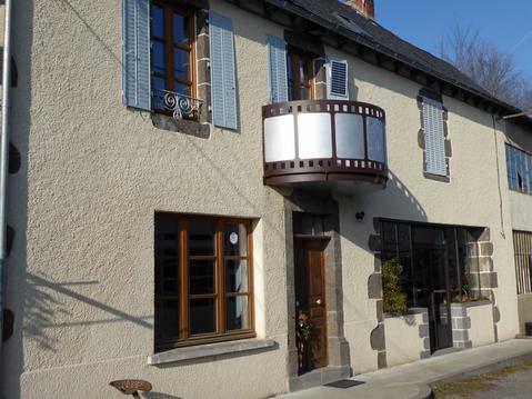
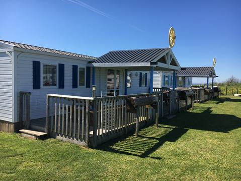
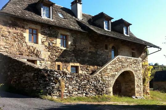
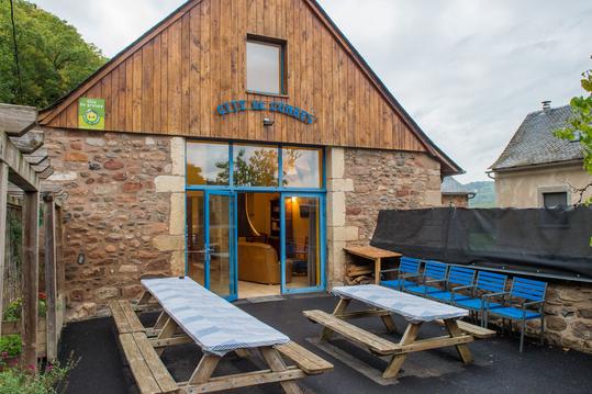
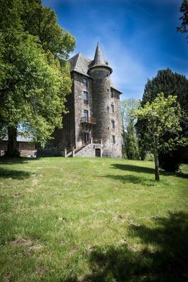
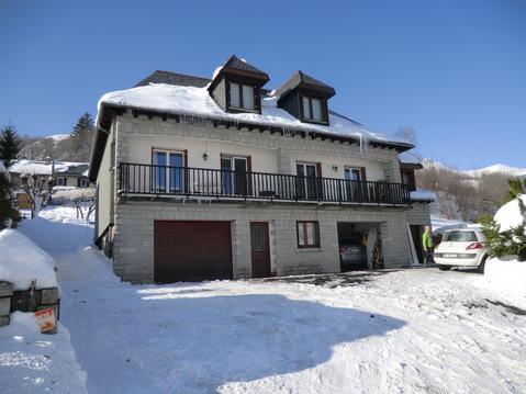
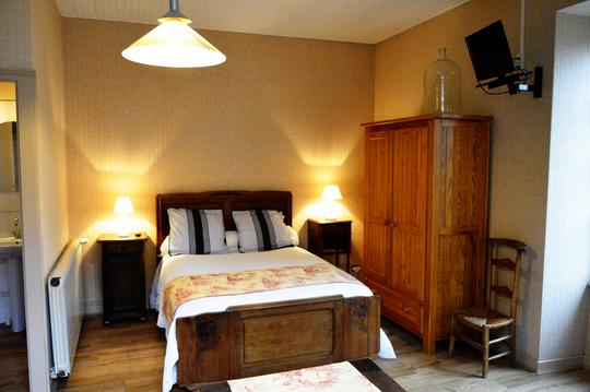
Hébergements à proximité

infos parcours (9)
1
Étape 1
Informations complémentaires
kilomètre
0,00
latitude
44.7305
altitude
687
m
longitude
2.65859
2
Étape 2
Balisage absent , aucunes infos
Informations complémentaires
kilomètre
0,00
latitude
44.7305
altitude
687
m
longitude
2.65847
3
Étape 3
Balisage correct à rafraîchir.
Informations complémentaires
kilomètre
0,00
latitude
44.73
altitude
662
m
longitude
2.65529
4
Étape 4
Bitumé
Informations complémentaires
kilomètre
0,00
latitude
44.7304
altitude
672
m
longitude
2.64906
5
Étape 5
Non bitumé
Informations complémentaires
kilomètre
0,00
latitude
44.7312
altitude
669
m
longitude
2.64874
6
Étape 6
Cascade du saut du chien
Informations complémentaires
kilomètre
0,00
latitude
44.7333
altitude
613
m
longitude
2.64973
7
Étape 7
Bitumé
Informations complémentaires
kilomètre
0,00
latitude
44.7378
altitude
671
m
longitude
2.6534
8
Étape 8
Non bitumé, manque un Tdte
Informations complémentaires
kilomètre
0,00
latitude
44.7396
altitude
669
m
longitude
2.65594
9
Étape 9
Bitumé
Informations complémentaires
kilomètre
0,00
latitude
44.7331
altitude
713
m
longitude
2.66377
michel
Note moyenne
Cartes associées
