
Château de Bazoches par Empury
- Mis à jour le 19/06/2025
- Identifiant 2938096
Sélectionner le fond de carte

PLAN IGN

PHOTOS AERIENNES

CARTES IGN MULTI-ECHELLES

TOP 25 IGN

CARTES DES PENTES

PARCELLES CADASTRALES

CARTES OACI

CARTES 1950 IGN

CARTE DE L’ETAT-MAJOR (1820-1866)

Open Street Map
Afficher les points d'intérêt à proximité
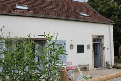
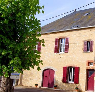
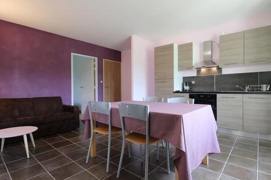
Hébergements
Informations
Lieux d'intérêts
Producteurs
Restauration
Services et Commerces
Autre
Echelle
|
durée / niveau
Rando pédestre
|
distance
14,2 km
type parcours
Boucle
|
|||||||||
|
Lieu de départ
1 Route du Montat
58140 Saint-André-en-Morvan |
accessibilite
|
|||||||||
|
prestations payantes
Non
|
type(s) de sol
Bitume
Terre Herbe Rochers |
|||||||||
Hébergements à proximité


infos parcours (14)
1
Ancienne bascule du hameau d'Athée
Informations complémentaires
kilomètre
0,00
latitude
47.3729
altitude
368
m
longitude
3.84909
2
Intersection avec piste forestière
Informations complémentaires
kilomètre
1,16
latitude
47.3714
altitude
300
m
longitude
3.83434
3
Sentier à gauche
Informations complémentaires
kilomètre
1,57
latitude
47.3716
altitude
243
m
longitude
3.82923
4
Gué sur la Brinjame
Informations complémentaires
kilomètre
1,79
latitude
47.3711
altitude
235
m
longitude
3.82713
5
Captage de Villars
Informations complémentaires
kilomètre
4,39
latitude
47.3846
altitude
346
m
longitude
3.80468
6
Point de passage 6
Informations complémentaires
kilomètre
5,22
latitude
47.3806
altitude
307
m
longitude
3.79606
7
Croix à Champignolles le Bas
Informations complémentaires
kilomètre
7,17
latitude
47.3644
altitude
351
m
longitude
3.79588
8
Patte d'oie dans la forêt
Informations complémentaires
kilomètre
7,87
latitude
47.3656
altitude
337
m
longitude
3.80451
9
Ruisseau
Informations complémentaires
kilomètre
8,57
latitude
47.3604
altitude
292
m
longitude
3.80962
10
Croisement d'une piste
Informations complémentaires
kilomètre
8,97
latitude
47.3572
altitude
309
m
longitude
3.81078
11
Monument aux morts d'Empury
Informations complémentaires
kilomètre
10,20
latitude
47.3509
altitude
330
m
longitude
3.82163
12
Carrefour de 5 chemins
Informations complémentaires
kilomètre
11,17
latitude
47.3583
altitude
303
m
longitude
3.82266
13
Biffurcation
Informations complémentaires
kilomètre
11,65
latitude
47.3621
altitude
289
m
longitude
3.82502
14
Ancienne bascule du hameau d'Athée
Informations complémentaires
kilomètre
28,45
latitude
47.3729
altitude
368
m
longitude
3.84911

