
Un coin de Morvan autour de Lormes
- Mis à jour le 19/06/2025
- Identifiant 2938145
Sélectionner le fond de carte

PLAN IGN

PHOTOS AERIENNES

CARTES IGN MULTI-ECHELLES

TOP 25 IGN

CARTES DES PENTES

PARCELLES CADASTRALES

CARTES OACI

CARTES 1950 IGN

CARTE DE L’ETAT-MAJOR (1820-1866)

Open Street Map
Afficher les points d'intérêt à proximité
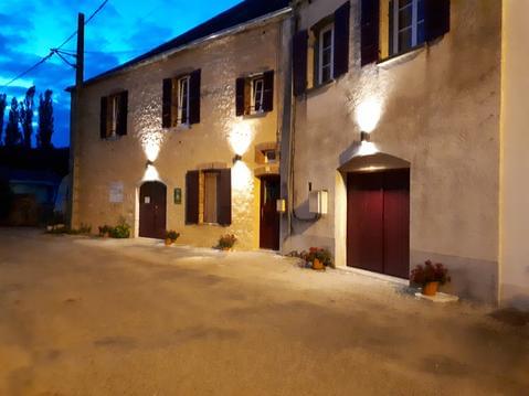
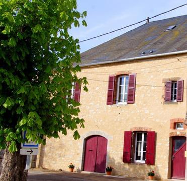
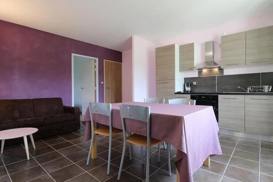
Hébergements
Informations
Lieux d'intérêts
Producteurs
Restauration
Services et Commerces
Autre
Echelle
|
durée / niveau
Rando pédestre
|
distance
16,1 km
type parcours
Boucle
|
|||||||||
|
Lieu de départ
58140 Lormes
|
accessibilite
|
|||||||||
|
prestations payantes
Non
|
type(s) de sol
Bitume
Graviers Terre Herbe Rochers |
|||||||||
Hébergements à proximité


infos parcours (18)
1
Bifurcation - A/R vers le moulin
Informations complémentaires
kilomètre
6,20
latitude
47.2803
altitude
444
m
longitude
3.8395
2
Les Promenades
Informations complémentaires
kilomètre
0,01
latitude
47.2903
altitude
432
m
longitude
3.81557
3
Point de passage 17
Informations complémentaires
kilomètre
15,02
latitude
47.2897
altitude
453
m
longitude
3.81351
4
Carefour
Informations complémentaires
kilomètre
17,98
latitude
47.2952
altitude
448
m
longitude
3.82102
5
Chemin cote 456
Informations complémentaires
kilomètre
18,87
latitude
47.2908
altitude
458
m
longitude
3.83049
6
Layon cote 485
Informations complémentaires
kilomètre
19,77
latitude
47.2898
altitude
487
m
longitude
3.8413
7
Layon parcelles 25-23
Informations complémentaires
kilomètre
20,56
latitude
47.2865
altitude
442
m
longitude
3.84651
8
Route D6
Informations complémentaires
kilomètre
22,84
latitude
47.2823
altitude
517
m
longitude
3.86557
9
Le Moulin du Bois
Informations complémentaires
kilomètre
25,87
latitude
47.2812
altitude
436
m
longitude
3.83973
10
Les Promenades
Informations complémentaires
kilomètre
32,13
latitude
47.2904
altitude
433
m
longitude
3.81556
11
Étang du Goulot
Informations complémentaires
kilomètre
27,82
latitude
47.2806
altitude
421
m
longitude
3.82222
12
Carrefour en T
Informations complémentaires
kilomètre
28,54
latitude
47.2786
altitude
413
m
longitude
3.81358
13
Bifurcation à gauche
Informations complémentaires
kilomètre
29,19
latitude
47.2764
altitude
370
m
longitude
3.80906
14
Départ de chemin à gauche
Informations complémentaires
kilomètre
29,58
latitude
47.2748
altitude
324
m
longitude
3.80436
15
Gros hêtre
Informations complémentaires
kilomètre
30,12
latitude
47.2791
altitude
311
m
longitude
3.80502
16
Retour du Tour des
Informations complémentaires
kilomètre
30,93
latitude
47.2841
altitude
302
m
longitude
3.80861
17
Piquenique de la cascade
Informations complémentaires
kilomètre
31,43
latitude
47.2868
altitude
383
m
longitude
3.8139
18
Bifurcation. A/R vers le point de vue
Informations complémentaires
kilomètre
31,56
latitude
47.2867
altitude
380
m
longitude
3.81242

ARA Serge
Note moyenne
Cartes associées

Vous aimerez aussi
Circuit pédestre "La Boucle de la Justice"
Découverte
11.2 km
| par Office de Tourisme Morvan Sommets et Grands Lacs |
Boucle de Marcioux - Fontaines Froides
Découverte
14.8 km
| par Office de Tourisme Morvan Sommets et Grands Lacs |