
Notre-Dame de l'Aillant
- Mis à jour le 30/06/2025
- Identifiant 2953245
Sélectionner le fond de carte

PLAN IGN

PHOTOS AERIENNES

CARTES IGN MULTI-ECHELLES

TOP 25 IGN

CARTES DES PENTES

PARCELLES CADASTRALES

CARTES OACI

CARTES 1950 IGN

CARTE DE L’ETAT-MAJOR (1820-1866)

Open Street Map
Afficher les points d'intérêt à proximité
Hébergements
Informations
Lieux d'intérêts
Producteurs
Restauration
Services et Commerces
Autre
Echelle
|
durée / niveau
Rando pédestre
|
distance
6,5 km
type parcours
Boucle
|
|||||||||
|
Lieu de départ
33 Grande Rue des Galvachers
71550 Anost |
accessibilite
|
|||||||||
|
prestations payantes
Non
|
type(s) de sol
Graviers
Terre Herbe |
|||||||||
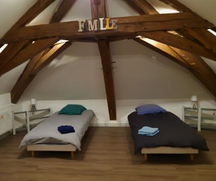
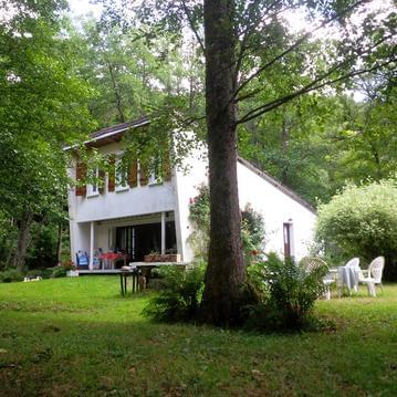
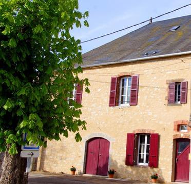
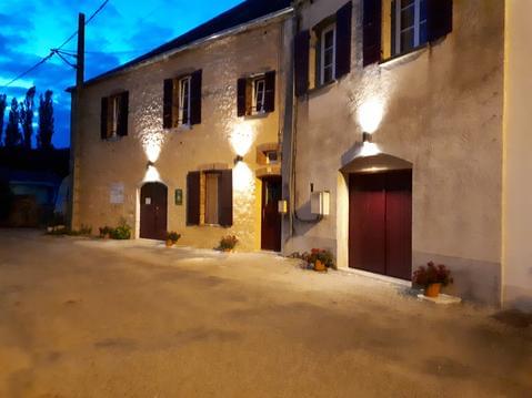
Hébergements à proximité

infos parcours (9)
1
Anost - Place du Champ de Foire
Informations complémentaires
kilomètre
0,01
latitude
47.0774
altitude
473
m
longitude
4.09865
2
Les Grelodots
Informations complémentaires
kilomètre
0,48
latitude
47.079
altitude
478
m
longitude
4.09446
3
Fourche - Quitter le GR13
Informations complémentaires
kilomètre
0,83
latitude
47.0782
altitude
459
m
longitude
4.09068
4
Ruisseau du Chênelet
Informations complémentaires
kilomètre
1,73
latitude
47.0819
altitude
512
m
longitude
4.08159
5
Croisement en T
Informations complémentaires
kilomètre
2,41
latitude
47.0849
altitude
516
m
longitude
4.0865
6
Piste forestière
Informations complémentaires
kilomètre
3,38
latitude
47.0933
altitude
641
m
longitude
4.08343
7
Croisement - Poteau indicateur
Informations complémentaires
kilomètre
4,28
latitude
47.0886
altitude
619
m
longitude
4.09247
8
Carrefour - Croix
Informations complémentaires
kilomètre
5,43
latitude
47.0825
altitude
510
m
longitude
4.0968
9
Anost - Place du Champ de Foire
Informations complémentaires
kilomètre
12,96
latitude
47.0774
altitude
473
m
longitude
4.09865

