
De Gourette à Saint-Lary-Soulan
- Thématique Montagne
- Mis à jour le 29/08/2025
- Identifiant 2984058


|
durée / niveau
Rando pédestre
|
distance
267,2 km
type parcours
|
|||||||||
|
Lieu de départ
22 Place du Sarriere
64440 Eaux-Bonnes |
accessibilite
|
|||||||||
|
prestations payantes
Non
|
type(s) de sol
Bitume
Terre Herbe Rochers |
|||||||||
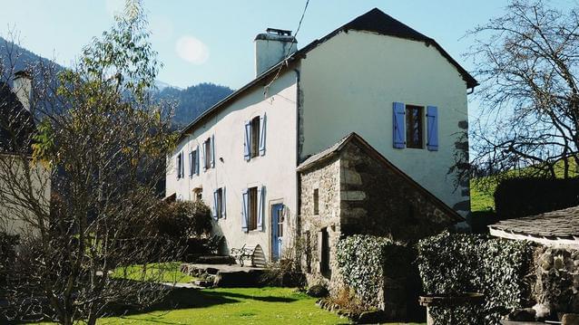
Hébergements à proximité
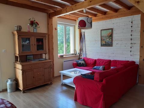
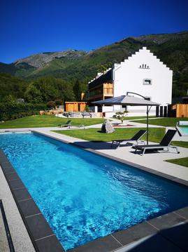
Appartement cocooning proche randonnées et ski
Fario 37 locations du samedi au samedi.

Fario 20 location du samedi au samedi
vacances, ski, cure, week-end
T2 plein cœur de cauterets
Appartement Elégance L' Argalyde Esprit Pyrénées

Ascendance gîte Gîte pour volatiles... et autre
ROC Gîte en pleine nature

infos parcours (153)
Office de Tourisme de Gourette
Gîte Carrefour GR10
Point de passage 3
Intersection
Intersection du GR avec la route
Cabanes du Litor, après l'
Passage sur la route
Point de passage 8
Entrée d'Arrens-Marsous
Changement de tracé
Retour sur sentier
Point de passage 12
Église d'Estaing
Récupérer le GR10
Camping d'Estaing
Passage sur la route
Passage dans les bois
Passage sur la route
Point de passage 19
Début de la montée
Cabane d'Arriousec
Cabane du Barbat
Col d'Ilhéou
Cabanes d'Arras
Point de passage 25
Passage sur sentier
Pierrier dangereux
Pierrier dangereux
Intersection piste et GR10
Cascade de Sahucs
Intersection dans les estives
Passage dans les bois
Houssat - Passage sur la route
Cascade - Passage sur la route
Passage dans les bois
Arrivée. Camping Cauterets
Thermes César
Anciens thermes de Pauze
Intersection Hôtel de la Fruitière
Cascade de Lutour
La Rallière
Point de passage 43
Point de passage 54
Pont du Cayan
Pont du Cayan
Inférieur
Supérieur
Point de passage 47
Pierrier au lac du Pourtet
Point de passage 49
Chapelle
Arrivée
Intersection avec le chemin du col d'Arratille
Point de passage 42
Retour sur le GR
Point de passage 56
Cabane du Pinet
Arrivée
Intersection chemin col d'Arraillé
Dernière portion de la Hourquette d'Ossoue
Point de passage 61
Point de passage 62
Point de passage 63
Grottes Bellevue
Pont de neige
Cascade
Passerelle
Point de passage 68
Point de passage 69
Point de passage 70
Point de passage 71
Intersection avec la D923
Intersection avec la D923
Chalet les Granges de Holle
Passage sur la route
Passage sur sentier
Arrivée
Pont Brioule
Office de Tourisme
Office de tourisme
Pont de Genèbre. Vers le
Bareilles
Récupération du GR
Granges de Saugué
Descente vers Gèdres - Hors GR
Passerelle
Saussa
Passage sur sentier - Fontaine
Petite route à proximité d'un pont
Pont de Bère
Centre-ville - Gèdre
Passage sur sentier
Intersection sentier col de Ripeyre
Petit passage rectiligne entre les habitations
Passage sur sentier
Intersection
Pont de Burret
Trimbareilles
Centrale hydroélectrique de Pragnères
Bifurcation de la D921
Sia
La croix de Sia
Arrivée sur la D921
Pont Napoléon
Bifurcation vers la Promenade Napoléon
Ruisseau de l'Yse
Luz-Saint-Sauveur - Camping Toy
Quitter la D921 - continuer tout droit
Quitter la route - chemin vers le château
Château Sainte-Marie
Passage sur la route. Vers le pont du
Esterre
Passage sur sentier
Viella
Passage sur la route
Pont
Viey
Sers
Séparation avec variante du GR
Barèges - centre-ville
À gauche
Jonction avec variante du GR
Passage sur la route
Passage sur sentier
Intersection avec chemin des lacs
Cabane de la Pègue
Point de passage 127
Point de passage 128
Point de passage 129
Gourguet de Madaméte
Point de passage 131
Arrivée
Parking du lac d'Aumar
Passage sur la route
Passage sur la route
Passage sur sentier
Point de passage 137
Point de passage 138
Cabane de la Lude
Point de passage 140
Intersection chemin du refuge de Bastan
Point de passage 142
Altiport de la Serre d'Aulon
Croisement de 4 chemins
Quitter le GR10
Soulan - Passage sur la route
Passage sur sentier
Pont de Bayul
Epingle sur une route - suivre le sentier
Vignec
Rond-point - première à droite
Point de passage 152
depart laruns
64440 Laruns

