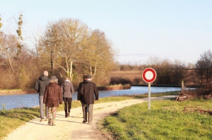
Entre canal et rigole
- Thématique Randonnée
- Mis à jour le 25/11/2018
- Identifiant 401735
Sélectionner le fond de carte

PLAN IGN

PHOTOS AERIENNES

CARTES IGN MULTI-ECHELLES

TOP 25 IGN

CARTES DES PENTES

PARCELLES CADASTRALES

CARTES OACI

CARTES 1950 IGN

CARTE DE L’ETAT-MAJOR (1820-1866)

Open Street Map
Afficher les points d'intérêt à proximité
Hébergements
Informations
Lieux d'intérêts
Producteurs
Restauration
Services et Commerces
Autre
Echelle
|
durée / niveau
Rando pédestre
|
distance
13,8 km
type parcours
Boucle
|
|||||||||
|
Lieu de départ
10 r saint roch
45250 Ouzouer-sur-Trézée |
accessibilite
|
|||||||||
|
prestations payantes
Non
|
type(s) de sol
Bitume
Terre Herbe |
|||||||||
|
Mots clés
canal, rigole, briare, ouzouer, gazonne
|
||||||||||
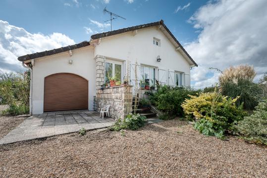
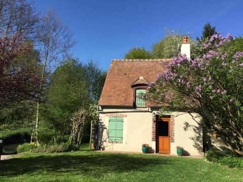
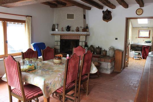
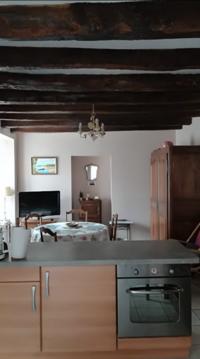
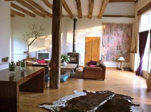
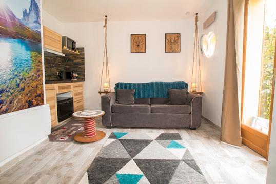
Photos & vidéos (3)
|
|
|
description
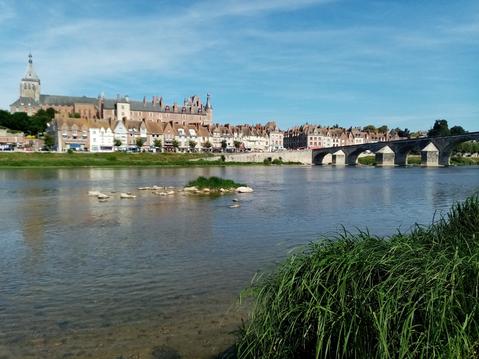
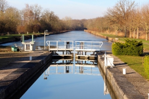
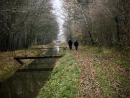
Ce parcours qui passe sur le chemin derrière le gite permet de découvrir la rigole d'alimentation du canal de Briare ; cette rigole permet d'apporter l'eau pompée en Loire à Briare jusqu'à la Gazonne.