
Transbiking 2014
- Thématique Randonnée
- Mis à jour le 27/05/2015
- Identifiant 16664
Sélectionner le fond de carte

PLAN IGN

PHOTOS AERIENNES

CARTES IGN MULTI-ECHELLES

TOP 25 IGN

CARTES DES PENTES

PARCELLES CADASTRALES

CARTES OACI

CARTES 1950 IGN

CARTE DE L’ETAT-MAJOR (1820-1866)

Open Street Map
Afficher les points d'intérêt à proximité
Hébergements
Informations
Lieux d'intérêts
Producteurs
Restauration
Services et Commerces
Autre
Echelle
|
durée / niveau
VTT
|
distance
67,0 km
type parcours
Boucle
|
|||||||||
|
Lieu de départ
1 av chopin
66130 Ille-sur-Têt |
accessibilite
|
|||||||||
|
prestations payantes
Non
|
type(s) de sol
Terre
Herbe Rochers |
|||||||||
description
Joli parcours, physique et ludique à condition de posséder un bon bagage technique (les descentes sont d'un niveau T3 environ). Montées assez roulantes sauf peut être la dernière un peu plus raide.
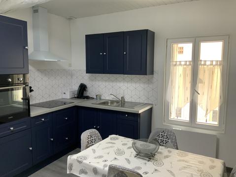
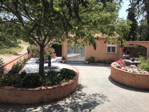
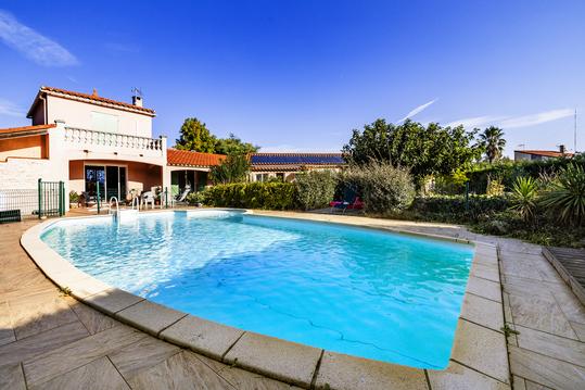
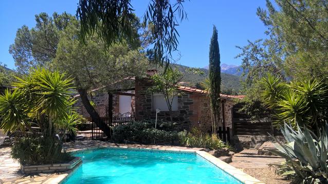
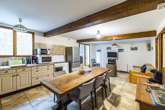
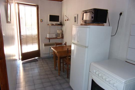
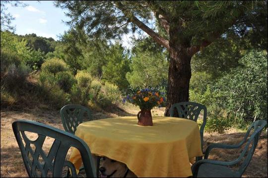
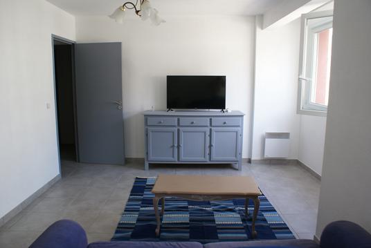
Hébergements à proximité

julien
Note moyenne
Cartes associées

Vous aimerez aussi
18) Sournia - Bélesta / VTT - VTT électrique / Parcours Frontière 1258
Historique, patrimoine
31.6 km
| par Jean |
8) Parcours de la frontière de 1258 en VTT ou VTT électrique / Molitg les bains - Bélesta
Historique, patrimoine
60.9 km
| par Jean |
3) Tautavel - Ille sur Têt / VTT ou VTT électrique / Parcours Frontière 1258
Historique, patrimoine
32.3 km
| par Jean |