
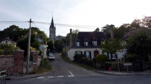
De Vallery à Dollot en suivant l'Orvanne
- Thématique Découverte
- Mis à jour le 07/10/2015
- Identifiant 32673
Sélectionner le fond de carte

PLAN IGN

PHOTOS AERIENNES

CARTES IGN MULTI-ECHELLES

TOP 25 IGN

CARTES DES PENTES

PARCELLES CADASTRALES

CARTES OACI

CARTES 1950 IGN

CARTE DE L’ETAT-MAJOR (1820-1866)

Open Street Map
Afficher les points d'intérêt à proximité
Hébergements
Informations
Lieux d'intérêts
Producteurs
Restauration
Services et Commerces
Autre
Echelle
|
durée / niveau
Rando pédestre
|
distance
16,2 km
type parcours
Boucle
|
|||||||||
|
Lieu de départ
1 r de la poste
89150 Vallery |
accessibilite
|
|||||||||
|
prestations payantes
Non
|
type(s) de sol
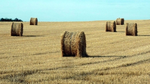
Bitume
Terre Herbe |
|||||||||
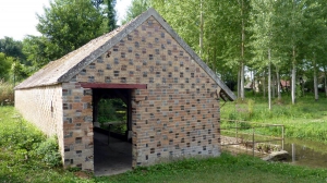
Photos & vidéos (4)
|
|
|
|
description
2 ème parcours en suivant l'Orvanne
De Vallery, nous irons à Dollot par la Chenaie, Lixy, Brannay, les Loges pour arriver vers le lavoir de Dollot et d elà, nous suivrons au plus prés l'Orvanne jusqu'à Vallery
De Vallery, nous irons à Dollot par la Chenaie, Lixy, Brannay, les Loges pour arriver vers le lavoir de Dollot et d elà, nous suivrons au plus prés l'Orvanne jusqu'à Vallery
Hébergements à proximité


William
Note moyenne
Cartes associées
