
Villemanoche boucle 30km
- Thématique Campagne
- Mis à jour le 20/05/2016
- Identifiant 49033
Sélectionner le fond de carte

PLAN IGN

PHOTOS AERIENNES

CARTES IGN MULTI-ECHELLES

TOP 25 IGN

CARTES DES PENTES

PARCELLES CADASTRALES

CARTES OACI

CARTES 1950 IGN

CARTE DE L’ETAT-MAJOR (1820-1866)

Open Street Map
Afficher les points d'intérêt à proximité
Hébergements
Informations
Lieux d'intérêts
Producteurs
Restauration
Services et Commerces
Autre
Echelle
|
durée / niveau
Rando pédestre
|
distance
30,2 km
type parcours
|
|||||||||
|
Lieu de départ
258 grande rue
89140 Villemanoche |
accessibilite
|
|||||||||
|
prestations payantes
Non
|
type(s) de sol
Bitume
Terre Herbe |
|||||||||
description
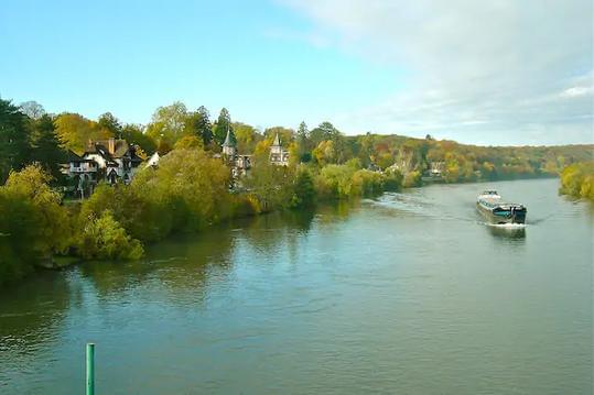
Possible de partir de la gare de Pont sur Yonne - partir vers le nord par Villemanoche, La Bonneau, Fontenelle, St Sérotin, Myremy, et retour Pont sur Yonne. Boucle de 30km. Forêts et campagne Nord Sénonais.
Hébergements à proximité


Gare de Pont sur Yonne
emprunte le GR213
notes, commentaires & photos (1)
MOHAMED
le 10/03/2016 à 15:53
de Villemanoche par La Bonneau Fontenelle St Serotin Bois des Marcelots Myremy Pont sur Yonne et retour Villemanoche
